Within Marshall Islands
How Marshallese Stick Charts Read the Ocean
These fibre-and-shell charts preserve a navigation system based on ocean swells, memory and bodily sensation rather than printed maps.
On this page
- What the charts represent
- How navigators learned to use them
- Where visitors can see original examples
Page outline Jump by section
Introduction
Marshallese stick charts are among the world’s most unusual navigational artefacts because they are not maps in the modern sense. Built from slender sticks, coconut or pandanus fibres and small shells, they model how ocean swells behave around islands rather than providing a bird’s-eye picture of coastlines. They were created as teaching devices and memory aids for expert navigators, who memorised their patterns before setting sail instead of carrying the charts aboard their canoes.[Smithsonian Ocean]ocean.si.eduOpen source on si.edu.
For visitors interested in the Marshall Islands’ most distinctive cultural heritage, these charts are remarkable because they preserve an entire way of understanding the sea through observation, memory and bodily experience. They belong as much to a living navigation tradition as to museum collections, making them one of the country’s most important examples of a curiosity that is simultaneously an object, a scientific model and a record of inherited knowledge.
What the charts represent
At first glance, a Marshallese stick chart resembles an abstract sculpture. Thin sticks are lashed together into geometric frameworks, while cowrie shells or other small shells mark islands or atolls. The meaning, however, lies less in geography than in movement.
Rather than measuring distances or plotting precise coastlines, the charts illustrate how long ocean swells bend, reflect and interact when they encounter low coral atolls. Curved sticks generally represent dominant swell directions, while straight elements indicate routes, currents or structural relationships between island groups, depending on the chart’s type. Because the Marshall Islands consist largely of low-lying atolls spread across an immense area of ocean, understanding these wave patterns was often more valuable than having a scaled map.[Smithsonian Ocean]ocean.si.eduOpen source on si.edu.
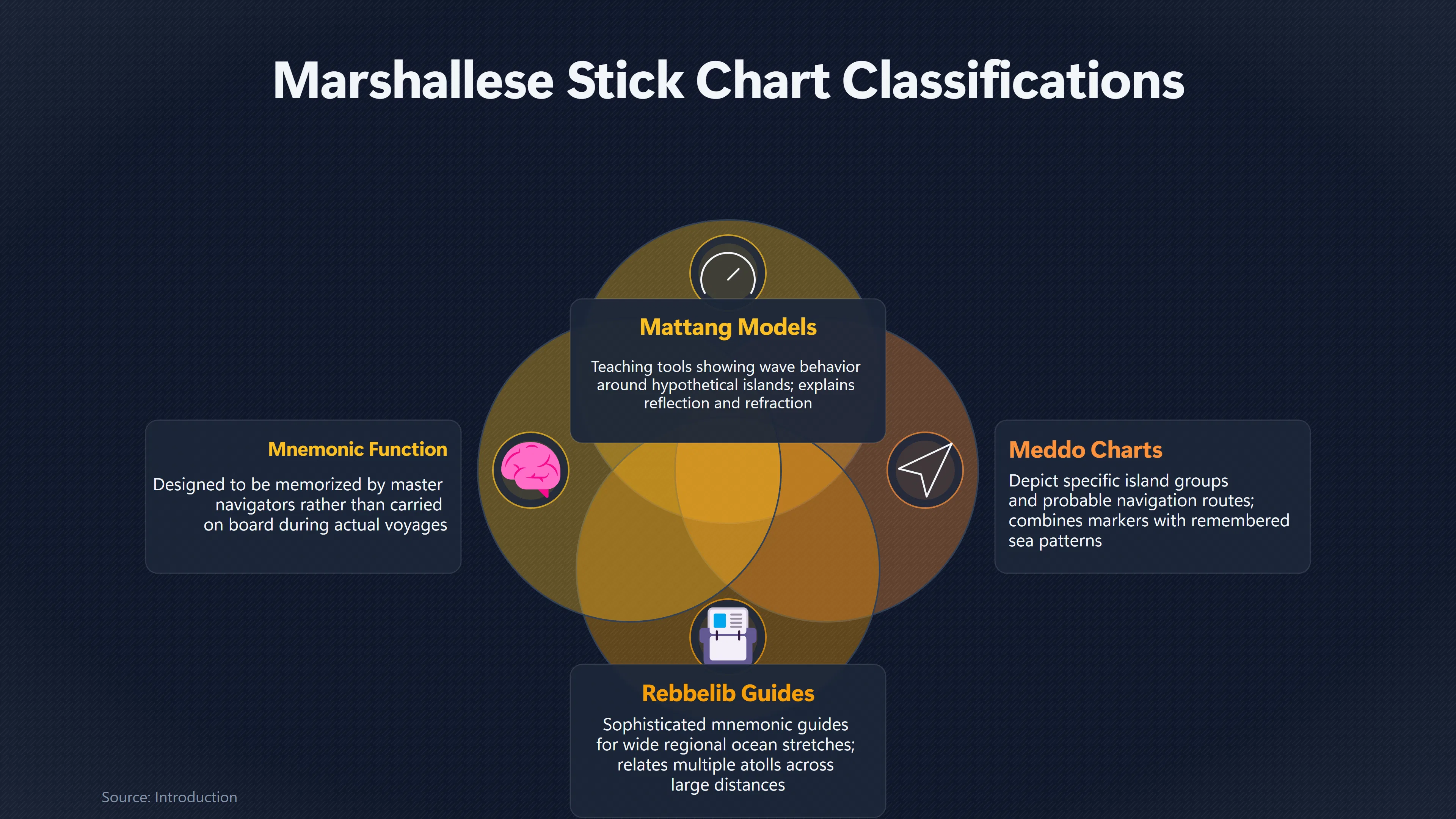
Traditional classifications distinguish several kinds of chart:
- Mattang charts are teaching models rather than maps. They explain general wave behaviour around a single hypothetical island and show how swells are reflected, refracted and disturbed by land.
- Meddo charts depict particular island groups and probable navigation routes, combining island markers with remembered patterns of sea movement.
- Rebbelib charts cover wider regions and relate multiple atolls across larger stretches of ocean, functioning as sophisticated mnemonic guides for experienced navigators.[si.edu]ocean.si.eduOpen source on si.edu.
The important point is that none of these charts were intended to replace practical knowledge. They compressed generations of observation into a form that could be memorised and discussed between master navigators.
How navigators learned to use them
The charts only make sense alongside the tradition that created them. Marshallese navigation depended on highly trained specialists who learned to interpret subtle information from the sea itself.
Students first memorised the framework represented by a chart on land. During actual voyages, the chart remained behind. Instead, navigators relied on experience, feeling changes in the canoe’s motion, watching swell directions, observing cloud formations, seabirds and weather, and recognising how distant islands altered the movement of waves long before land became visible.[Smithsonian Ocean]ocean.si.eduOpen source on si.edu.
This approach can seem surprising to modern visitors because it reverses familiar ideas about maps. A printed chart is normally consulted during a journey. A Marshallese stick chart was primarily a learning tool that helped organise knowledge already carried in the navigator’s memory.
Equally important was bodily perception. Experienced navigators could detect subtle differences in the rhythm of swells passing beneath a canoe, using these sensations alongside visual observations to judge direction and proximity to land. The charts therefore represent a relationship between human perception and the ocean rather than a detached diagram viewed from above.[Smithsonian Ocean]ocean.si.eduOpen source on si.edu.
Why scientists find them so intriguing
Early European observers often misunderstood stick charts as crude or symbolic maps. Later research has shown that they encode genuine observations of ocean behaviour developed through centuries of practical experience.
Modern oceanographers recognise many of the physical principles represented in the charts, including wave reflection and refraction around islands. Some aspects of Marshallese navigation, particularly reports of a long-distance wave pattern known as the dilep, remain the subject of active debate. Researchers continue to investigate whether the reported phenomena can be fully explained through known wave interactions or whether cultural interpretation also plays a role. The existence of debate does not undermine the sophistication of the wider navigation system; rather, it highlights how difficult it is to translate embodied traditional knowledge into modern scientific language.[arXiv]arxiv.orgParallel paths across the Pacific: a speculative explanation for the dilep in Marshallese navigationFebruary 26, 2018…
The charts therefore occupy an unusual position. They are simultaneously ethnographic artefacts, educational models, historical documents and prompts for continuing scientific investigation.
Where visitors can see original examples
The best place to encounter Marshallese stick charts within the Marshall Islands is the Alele Museum, Library and National Archives in Majuro, where they are displayed alongside canoe-building traditions and other aspects of Marshallese maritime culture. The museum presents the charts as part of a wider story about navigation, settlement and cultural identity rather than as isolated curiosities.
Outside the Marshall Islands, important historical examples are preserved in major museum collections, including the Smithsonian Institution in Washington, DC, and the British Museum in London. These collections include nineteenth- and twentieth-century examples of mattang, meddo and rebbelib charts, allowing visitors to compare different forms and understand how each served a distinct purpose.[si.edu]si.eduSmithsonian Institution Stick Chart | Smithsonian InstitutionSmithsonian InstitutionStick Chart | Smithsonian InstitutionFebruary 24, 2023…
Visitors should also be aware that many stick charts sold as souvenirs differ from historical teaching charts. Modern decorative versions often simplify traditional designs or combine elements from different chart types for artistic appeal. While these objects can celebrate Marshallese heritage, they should not automatically be interpreted as authentic working navigation charts.[Smarthistory]smarthistory.org– Navigation Chart, Marshall IslandsSmarthistory – Navigation Chart, Marshall IslandsApril 1, 2017…

Why they matter in the Marshall Islands’ curiosity landscape
Among the Marshall Islands’ unusual cultural treasures, stick charts stand apart because they preserve knowledge that cannot be fully understood simply by looking at the object. Their real significance lies in the invisible skills they represent: generations of observation, memory, apprenticeship and intimate familiarity with the behaviour of the Pacific Ocean.
Unlike many museum curiosities, these artefacts were never intended to impress through appearance alone. Their quiet frameworks of sticks and shells embody an intellectual tradition that allowed navigators to cross vast expanses of open sea without compasses, printed charts or modern instruments. That combination of practical science, inherited knowledge and elegant simplicity makes Marshallese stick charts one of the most distinctive and culturally significant collections associated with the Marshall Islands.
Amazon book picks
Further Reading
Books and field guides related to How Marshallese Stick Charts Read the Ocean. Use these as the next step if you want deeper reading beyond the article.
We, the Navigators: The Ancient Art of Pacific Landfinding
First published 1972. Subjects: Navigation, Micronesians, Polynesians, Micronésiens, Entdeckung.
The Forsaken
Tzouliadis presents this remarkable piece of forgotten history--the story of how thousands of Americans were lured to Soviet Russia by th...
Sea People: The Puzzle of Polynesia
A blend of Jared Diamond’s Guns, Germs, and Steel and Simon Winchester’s Pacific, a thrilling intellectual detective story that looks dee...
The Last Navigator
The classic account of traditional Micronesian navigation and “the last navigator,” Mau Piailug, who fought to preserve it—now available...
eBay marketplace picks
Marketplace Samples
Live-tested eBay searches with available results related to this page.
Selected fromnautical map print oneBay.co.uk.
Endnotes
1.
Source: arxiv.org
Link:https://arxiv.org/abs/1802.09151
Source snippet
Parallel paths across the Pacific: a speculative explanation for the dilep in Marshallese navigationFebruary 26, 2018...
Published: February 26, 2018
2.
Source: smarthistory.org
Title: – Navigation Chart, Marshall Islands
Link:https://smarthistory.org/chart-marshall/
Source snippet
Smarthistory – Navigation Chart, Marshall IslandsApril 1, 2017...
Published: April 1, 2017
3.
Source: ocean.si.edu
Link:https://ocean.si.edu/human-connections/history-cultures/navigating-waters-micronesian-stick-charts
4.
Source: si.edu
Title: Smithsonian Institution Stick Navigation Chart | Smithsonian Institution
Link:https://www.si.edu/object/stick-navigation-chart%3Anmnhanthropology_8426354
Source snippet
For more information, visit the Smithsonian's Terms of Use page. Inter...
5.
Source: britishmuseum.org
Title: British Museumchart | British Museum
Link:https://www.britishmuseum.org/collection/object/E_Oc1904
6.
Source: britishmuseum.org
Title: British Museumchart | British Museum
Link:https://www.britishmuseum.org/collection/object/E_Oc1941
7.
Source: si.edu
Title: Smithsonian Institution Stick Chart | Smithsonian Institution
Link:https://www.si.edu/object/stick-chart%3Anmnhanthropology_8503055
Source snippet
Smithsonian InstitutionStick Chart | Smithsonian InstitutionFebruary 24, 2023...
Published: February 24, 2023
8.
Source: britishmuseum.org
Title: British Museumchart | British Museum
Link:https://www.britishmuseum.org/collection/object/E_Oc1993
9.
Source: si.edu
Title: For more information, visit the Smithsonian’s Terms of Use page. Inter
Link:https://www.si.edu/object/nmnhanthropology_8552873
Source snippet
Stick Navigation Chart | Smithsonian InstitutionFebruary 24, 2023 — STICK NAVIGATION CHART Natural History Museum Image Usage Conditions...
Published: February 24, 2023
10.
Source: si.edu
Title: Stick Chart | Smithsonian Institution
Link:https://www.si.edu/object/stick-chart%3Anmnhanthropology_8423874
11.
Source: britishmuseum.org
Link:https://www.britishmuseum.org/collection/object/E_Oc1944
Additional References
12.
Source: youtube.com
Link:https://www.youtube.com/watch?v=p0IoNXyhZJc
Source snippet
Marshallese Traditional Sailing and Navigation...
13.
Source: youtube.com
Title: Master Navigator Alson Kelen Visits the Burke Museum
Link:https://www.youtube.com/watch?v=MP6Ukn9KJCs
Source snippet
Spatial orientation, navigation, & wave piloting in the Marshall Islands with Hugo Spiers & Joe Genz...
14.
Source: youtube.com
Title: Wave Piloting in the Marshall Islands || Radcliffe Institute
Link:https://www.youtube.com/watch?v=voy8Dd4bqIg
Source snippet
Our Watery World: The Stick Charts of Micronesia | Great Maps Explained...
15.
Source: youtube.com
Title: Marshallese Traditional Sailing and Navigation
Link:https://www.youtube.com/watch?v=JrXvrZBRIKo
Source snippet
Wave Piloting in the Marshall Islands || Radcliffe Institute Harvard University · 13K views...
16.
Source: youtube.com
Title: Our Watery World: The Stick Charts of Micronesia | Great Maps Explained
Link:https://www.youtube.com/watch?v=moJ1cNEpvSo
Source snippet
Master Navigator Alson Kelen Visits the Burke Museum...
17.
Source: smithsonianmag.com
Link:https://www.smithsonianmag.com/smithsonian-institution/how-sticks-and-shell-charts-became-sophisticated-system-navigation-180954018/
18.
Source: artsandculture.google.com
Link:https://artsandculture.google.com/asset/navigation-chart-rebbelib/8gEoV9e9Oopj7g?hl=en